
Photo Map - Travel Tracker
Map your photos & track countries visited
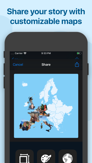
Let Your Photos Tell the Story
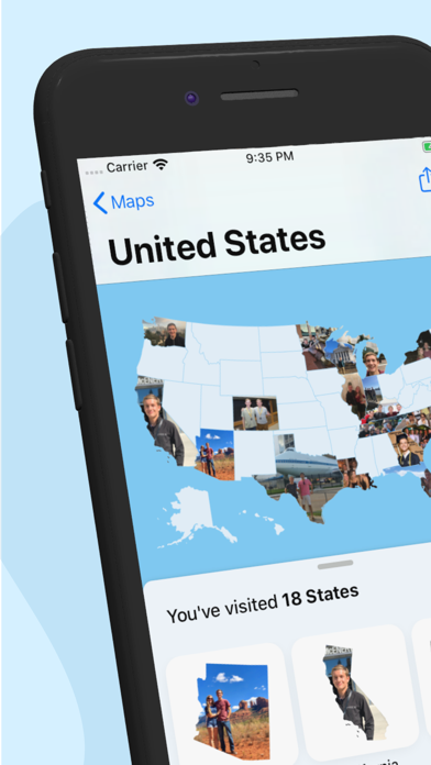
Photo Map uses your photo library to create an interactive travel map. See exactly where you took every photo, track the countries and cities you have visited, and relive your travel memories on a beautiful world map.
Your Travel History, Visualized
Interactive Photo Map
- Automatic mapping — Photos are plotted on the map using GPS data
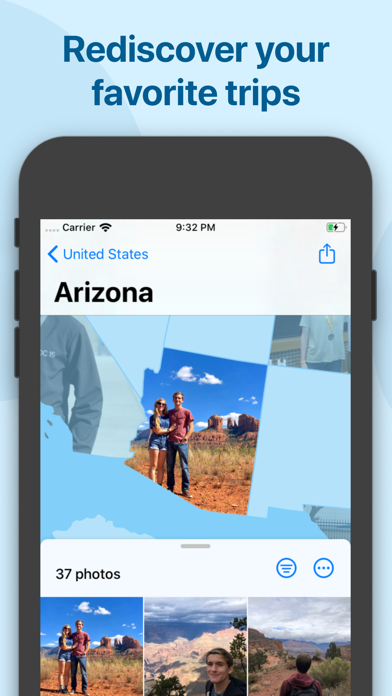
- Cluster view — See photo groups by location
- Zoom and explore — Dive into specific trips and locations
- Timeline view — Browse photos chronologically by trip
Travel Statistics
- Countries visited — Track your global footprint
- Cities explored — See every place you have been
- Trip detection — Automatic grouping by travel dates
- Year in review — Annual travel summaries

Perfect For
| Traveler Type | How It Helps |
|---|---|
| Frequent travelers | Visualize your travel history on one map |
| Digital nomads | Track every city and country you have lived in |
| Family vacationers | Relive holiday memories by location |
| Road trippers | See your driving routes through photos |
| Photographers | Browse your portfolio geographically |
| Travel bloggers | Find photos from specific destinations quickly |
Privacy First
Photo Map works entirely with your existing photo library. No uploads, no cloud storage, no tracking. Your travel data stays on your device.
What Users Are Saying
“Amazing way to relive travel memories. Love seeing all my photos on the map.”
“Finally found where I took that amazing photo from my Europe trip!”
Rated 4.7/5 stars — Trusted by travelers worldwide
Download
Download Photo Map and turn your photo library into a travel journal.